Smith Fork (Little Platte River tributary)
| Smith Fork | |
|---|---|
| Location | |
| Country | United States |
| State | Missouri |
| County | Clinton |
| Physical characteristics | |
| Source | |
| • location | Shoal Township, Clinton County |
| • coordinates | 39°41′59″N 94°18′55″W / 39.69962641°N 94.3152533°W[2] |
| • elevation | 1,020 ft (310 m)[2] |
| Mouth | Little Platte River |
• location | Concord Township, Clinton County |
• coordinates | 39°38′17″N 94°22′26″W / 39.6380561°N 94.3738374°W[3] |
• elevation | 938 ft (286 m)[3] |
| Length | 8.3 mi (13.4 km)[1] |
| Basin features | |
| Progression | Smith Fork → Little Platte River → Platte River → Missouri River → Mississippi River → Atlantic Ocean |
Smith Fork is a stream in Clinton County in the U.S. state of Missouri.[3] It is a tributary of the Little Platte River and is 8.3 miles (13.4 km) long.[1]
The stream flows southerly from northeastern Clinton County near West Keystone, Missouri to central Clinton County, where it deposits into the Little Platte River.
Smith Fork most likely has the name of William Smith, a pioneer citizen.[4] The original name of the Little Platte River was Smith Creek, though over time the name Smith was only associated with this fork.[5]
See also
References
- ^ a b Bayless, Mike (2022). Platte River Watershed and Inventory Assessment. Missouri Department of Conservation. Retrieved October 17, 2025.
- ^ a b "Rivers and Streams". Missouri Spatial Data Information Service. Missouri Department of Natural Resources. Retrieved October 17, 2025.
- ^ a b c U.S. Geological Survey Geographic Names Information System: Smith Fork (Little Platte River tributary)
- ^ "Clinton County Place Names, 1928–1945 (archived)". The State Historical Society of Missouri. Archived from the original on 24 June 2016. Retrieved 21 September 2016.
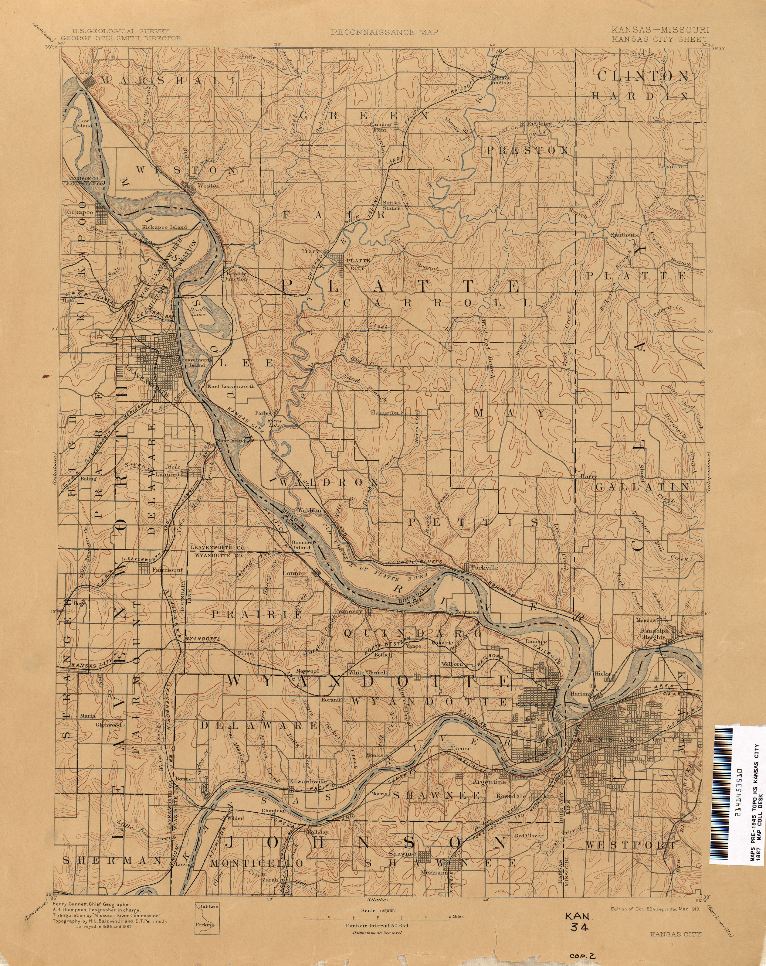
{{cite web}}: CS1 maint: bot: original URL status unknown (link) - ^ "Kansas City - 1887". The University of Texas at Austin. USGS. Retrieved August 25, 2025.