Samarkandek
Samarkandek
Kyrgyz: Самаркандек | |
|---|---|
Samarkandek | |
| Coordinates: 39°59′40″N 70°32′20″E / 39.99444°N 70.53889°E | |
| Country | Kyrgyzstan |
| Region | Batken Region |
| District | Batken District |
| Population (2025)[1] | |
• Total | 8,022 |
| Time zone | UTC+6 |
Samarkandek (Kyrgyz: Самаркандек)[2] is a village in Batken Region of Kyrgyzstan. It is the seat of the Samarkandek rural community (айыл аймагы, ayyl aymagy) within the Batken District.[3] Its population was 7,566 in 2022.[4]
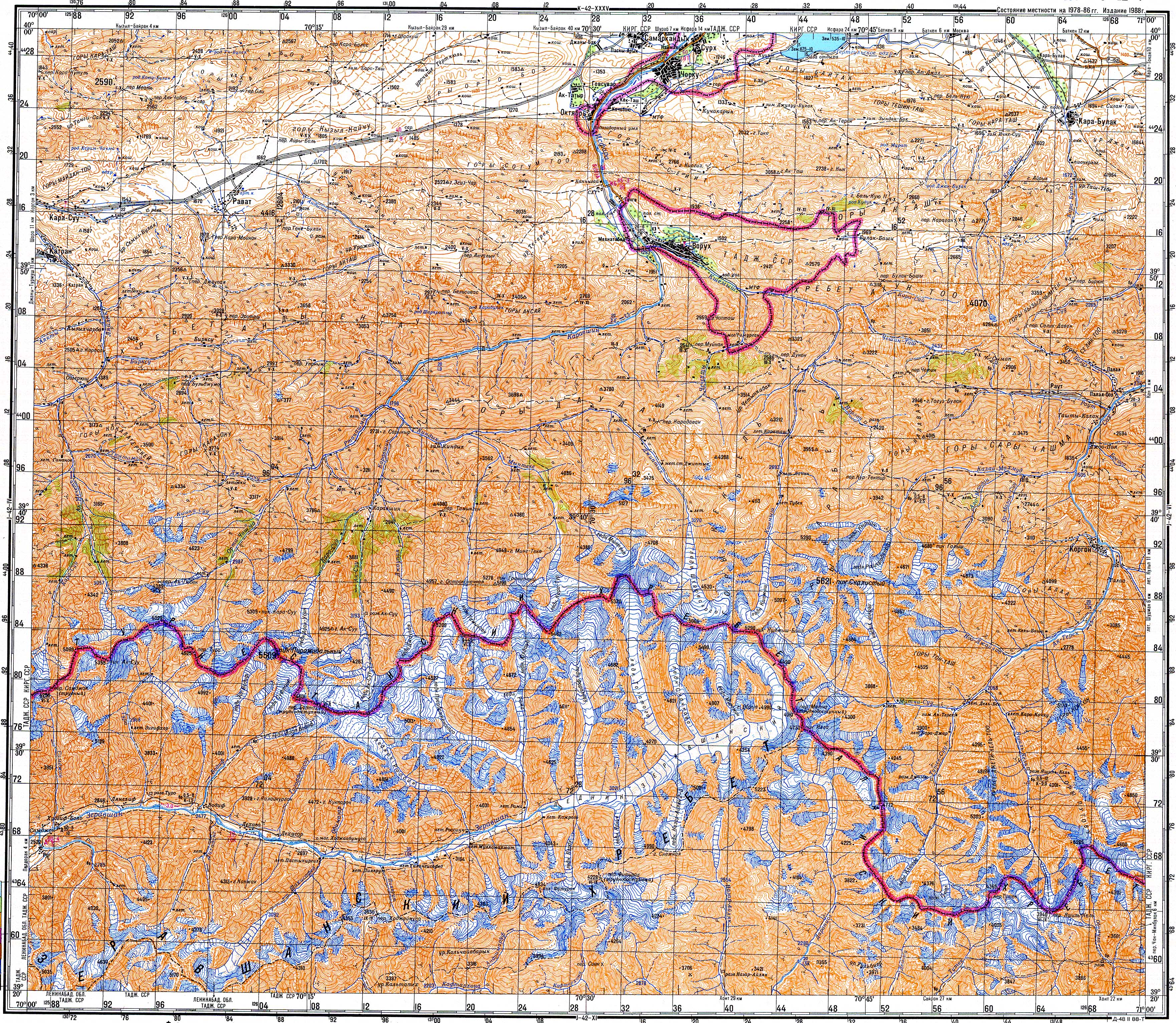
Until 2013, the strategic road Batken-Isfana passed through Samarkandek. In 2013, ethnic conflict between enclave of Tajikistan, Vorukh and Samarkandyk led to mutual closing of borders. As Batken-Isfana road passed through Voruh also, government officials started to build a detouring road which would lay entirely in Kyrgyzstan borders. This latter event left Samarkandyk off the road.
Population
| Year | Pop. | ±% p.a. |
|---|---|---|
| 2009 | 5,442 | — |
| 2022 | 7,566 | +2.57% |
| 2025 | 8,022 | +1.97% |
| Note: resident population; Sources:[5][4][1] | ||
References
- ^ a b "Population of regions, districts, towns, urban-type settlements, rural communities and villages of Kyrgyz Republic" (in Russian). National Statistics Committee of the Kyrgyz Republic. 2025. Archived from the original (XLS) on 2 February 2026.
- ^ Soviet military map J-42-05 (1:200,000)
- ^ "Classification system of territorial units of the Kyrgyz Republic" (in Kyrgyz). National Statistics Committee of the Kyrgyz Republic. May 2021. p. 40.
- ^ a b "2022 population and housing census of the Kyrgyz Republic. Book I" (PDF) (in Russian). National Statistics Committee of the Kyrgyz Republic. 2023. p. 108.
- ^ "2009 population and housing census of the Kyrgyz Republic. Book III. Batken Region" (PDF) (in Russian). National Statistics Committee of the Kyrgyz Republic. 2010. p. 210.