Oberwüstegiersdorf Material Ropeway
| Oberwüstegiersdorf Material Ropeway | |
|---|---|
Quarry in Oberwüstegiersdorf with material ropeway | |
Interactive map of Oberwüstegiersdorf Material Ropeway | |
| Overview | |
| Status | Dismantled |
| Location | Oberwüstegiersdorf, Silesia |
| Country | Poland |
| Coordinates | 50°40′30″N 16°21′49″E / 50.67506081030777°N 16.363736825702162°E |
| Termini | Gravel works near Oberwüstegiersdorf railway station Melaphyre quarry on Stuben Berg |
| Elevation | lowest: 496 m highest: 570 m |
| No. of stations | 2 |
| Open | before 1917 |
| Closed | 1975 |
| Technical features | |
| Aerial lift type | Ropeway conveyor |
| Line length | 1,093 m |
The Oberwüstegiersdorf Material Ropeway was a material ropeway in Oberwüstegiersdorf, Silesia that connected the melaphyre quarry on Stuben Berg (753 m; Polish: Ostoja) with the gravel works near Oberwüstegiersdorf railway station.[1][2]
History
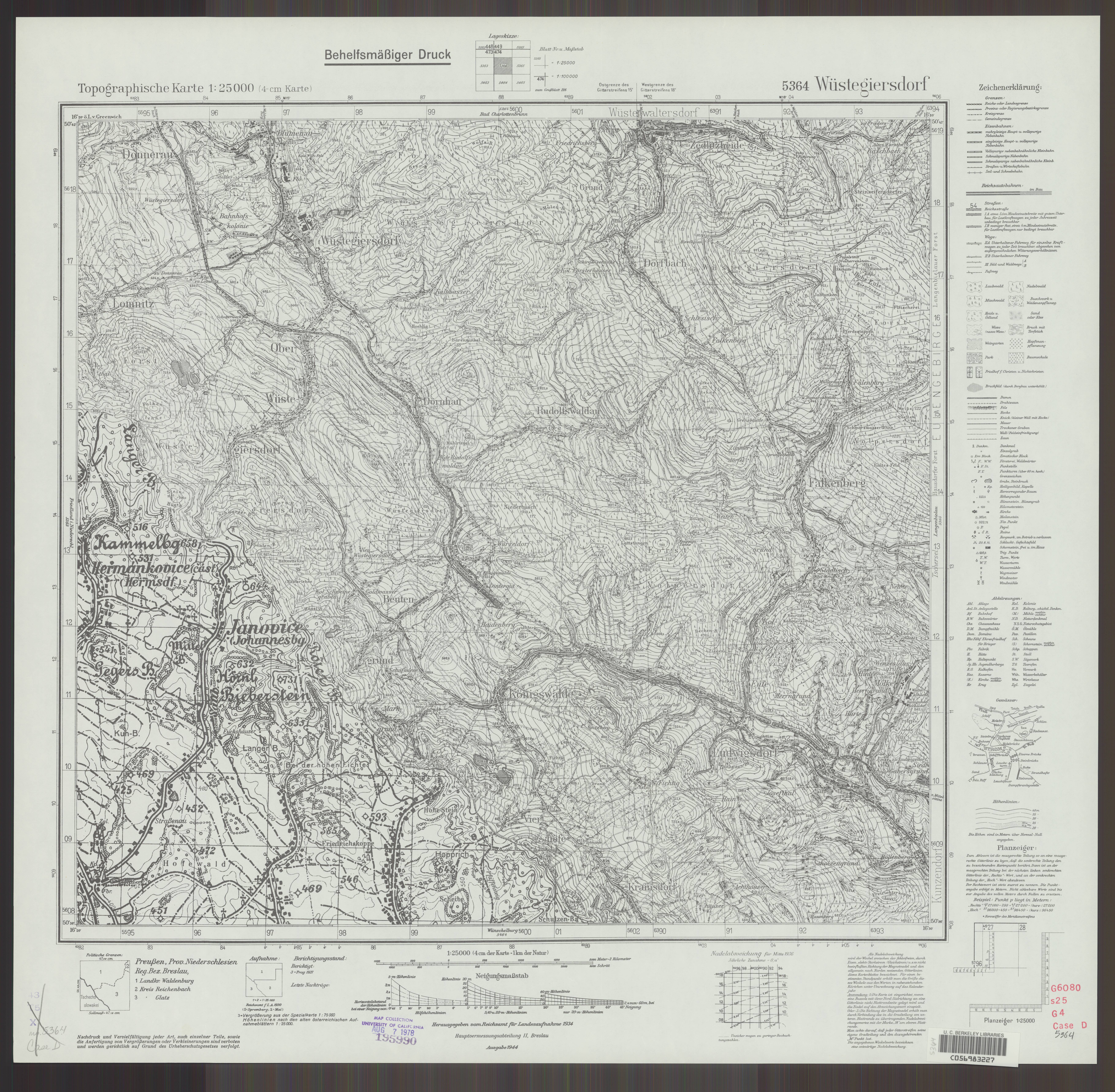
The quarry was put into operation in 1900. Initially, the extracted material was transported by horse-drawn teams. After 1910, the use of modern pneumatic jackhammers and explosives led to an increase in production, making the construction of a material ropeway necessary.[3] The material ropeway is not yet recorded on the TK25 5364 Messtischblatt map sheet from 1913.[4] Postcards from 1917 already exist that show the material ropeway.[5] The quarry was closed in 1975.[3]
Forced labour
During the Second World War, the KL Schotterwerk subcamp of Gross-Rosen was located in the area of the lower station and the gravel works. The Gross-Rosen Memorial names the quarry in Oberwüstegiersdorf, the gravel factory, and the loading of building materials as part of Project Riese as places where prisoners were deployed.[6] At least 1,245 prisoners are known.[3]
Route
The line ran from the melaphyre quarry to the gravel works at Oberwüstegiersdorf railway station. Remains of the installation, such as the loading ramp and the initial station, can still be seen today. Some concrete blocks of the former ropeway line are also still visible.[7][8]
The route of the material ropeway is recorded on the TK25 5364 Messtischblatt map sheets from 1934 and 1944.[9][10]
References
- ^ "Głuszyca Górna – stacja i wiadukt". Szlaki Dolnego Śląska (PTTK) (in Polish). Retrieved 24 February 2026.
- ^ "Kamieniołom Kamyki". Trasy górskie (in Polish). 14 May 2022. Retrieved 24 February 2026.
- ^ a b c "Jastrzębia Perć - nowa odsłona „Kamyków" (Kurier Głuszycki, March 2025, page 3)" (PDF). bip.gluszyca.pl (in Polish). Retrieved 25 February 2026.
- ^ "Rudolfswaldau 3133 [Neue Nr 5364] - 1913 (Messtischblatt TK25)". maps.mapywig.org (in German). Retrieved 25 February 2026.
- ^ "Kruszarnia melafiru (dawna), ul. Dworcowa, Głuszyca Górna". polska-org.pl (in Polish). Retrieved 24 February 2026.
- ^ "Riese - Gross-Rosen". Gross-Rosen Museum (in German). Retrieved 24 February 2026.
- ^ "Kamieniołom melafiru (dawny) Kamyki, Głuszyca Górna – zdjęcia". polska-org.pl (in Polish). Retrieved 24 February 2026.
- ^ "Kamieniołom melafiru (dawny) Kamyki, Głuszyca Górna – zdjęcia". polska-org.pl (in Polish). Retrieved 24 February 2026.
- ^ "Messtischblatt TK25 5364 "Wüstegiersdorf" (1934)". MapyWIG – German maps, series 025K TK25 (in German). Retrieved 24 February 2026.
- ^ "Messtischblatt TK25 5364 "Wüstegiersdorf" (1944)". MapyWIG – German maps, series 025K TK25 (in German). Retrieved 24 February 2026.
!["Rudolfswaldau 3133 [Neue Nr 5364] - 1913 (Messtischblatt TK25)"](http://maps.mapywig.org/m/German_maps/series/025K_TK25/5364_Rudolfswaldau_1913_BCUWr7231-32422-63512.jpg)
_Wuestegiersdorft_1934_BWNG_UL.jpg)