List of islands by area
This list includes all 332 islands in the world larger than 1,000 km2 (390 sq mi). For size and location reference, the four continental landmasses are also included. All landmasses are arranged in descending order.
Continental landmasses
Generally, the continental landmasses are not all classified as islands despite being completely surrounded by water.[Note 1] However, because the definition of continent varies between geographers, the Americas are sometimes defined as two separate continents while mainland Australia is sometimes defined as an island as well as a continent.[Note 2]
Nevertheless, for the purposes of this list, mainland Australia along with the other three major landmasses have been listed as continental landmasses for comparison. The figures are approximations and are for the four continental landmasses only.[Note 3]
| Rank | Continental landmass[Note 4] | Area | Nation(s) | Notes | |
|---|---|---|---|---|---|
| (km2) | (sq mi) | ||||
| I | Afro-Eurasia (Africa-Eurasia) |
79,810,726[Note 5] | 30,815,094 |
126 countries |
48 countries and two de facto states on mainland Africa.[Note 6] 78 countries and four de facto states on mainland Eurasia: - 38 countries and two de facto states on continental Asia.[Note 7][Note 8] - 40 countries and two de facto states on continental Europe[Note 9] |
| II | America (landmass) | 37,699,623[Note 10] | 14,555,906 |
22 countries |
Ten countries on mainland North America.[Note 11] Twelve countries and an overseas department and region of France on mainland South America. |
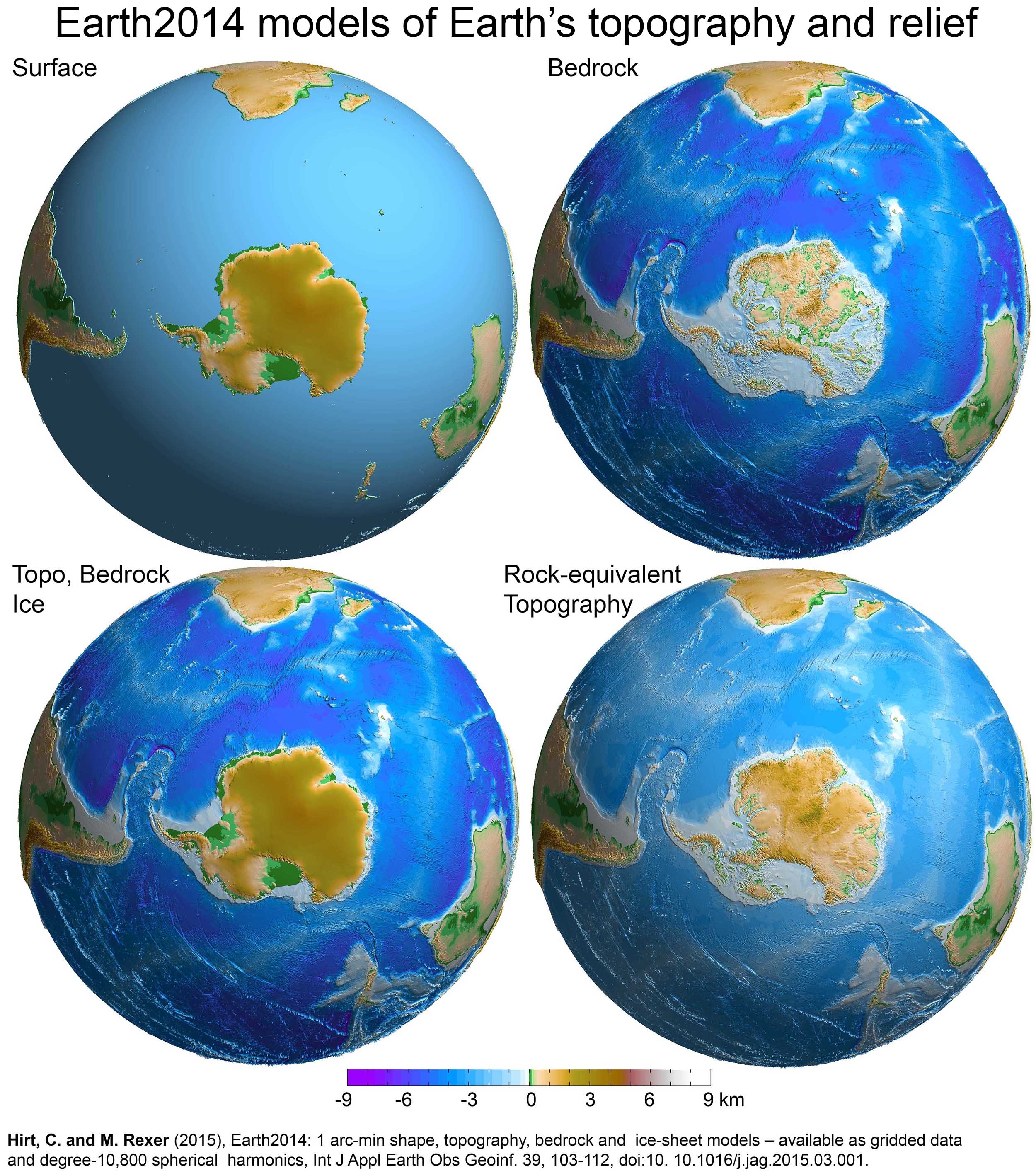
| III | Antarctica | 12,272,800[Note 12] | 4,738,600 | None[Note 13] | Antarctica is a special case, for if its ice is considered not as land, but as water, it is not a single landmass, but several landmasses of much smaller area, since the ice-bedrock boundary is below sea level in many regions of the continent.[6] If its ice cover were to be lifted, some rocks that are currently below sea level would rise as the weight of the ice would be removed,[7] although this would in part be counteracted, and in some areas of the continent overtaken, by eustatic rises in sea level.[8] |
| IV | Australia (landmass) | 7,591,608[Note 14] | 2,931,136 | Australia | Mainland Australia is more than three times the size of Greenland, the largest island.[10] Australia is sometimes dubbed "The Island Continent" or "Earth's largest island, but its smallest continent".[11] |
Islands with areas of 1,000 km2 (390 sq mi) or greater
See also
- Lake island
- List of Antarctic and subantarctic islands
- List of countries and dependencies by area
- List of countries by largest island
- List of divided islands
- List of islands by highest point
- List of islands by name
- List of islands by population
- List of islands by population density
- Lists of islands by continent and country
- Recursive islands and lakes
- River island
Notes
- ^ The United States Geological Survey is a notable exception. The United States-based scientific agency classifies all landmasses (including all continental mainlands except Antarctica) surrounded by water as islands. Under their definition, Africa, Australia, Eurasia, North America, and South America are classified as continental mainland islands.[1]
- ^ Geoscience Australia notes that 'Australia is often referred to as an island continent'[2]
- ^ Physiographically, there are only four continents (including offshore continental islands which sit on the nearby continental shelves) that are completely surrounded by the ocean: Africa-Eurasia (57% of the global land area), the Americas (28.5%), Antarctica (9%), and Australia (5%). The remaining 0.5% is made up of remote oceanic islands, mostly scattered within Oceania in the central and south Pacific Ocean.[3]
- ^ Including continental landmasses which are above water and over 2,500,000 km2 (970,000 sq mi). The submerged continent of Zealandia (approx. 5,000,000 km2 (1,900,000 sq mi)) is excluded.[4]
- ^ Figure derived from the Global Islands Explorer website, by adding the areas of mainland Africa (29,370,907 km2 (11,340,171 sq mi)) and mainland Eurasia (50,439,819 km2 (19,474,923 sq mi)).
- ^ Egypt has a small portion of its land located on mainland Eurasia.
- ^ Azerbaijan, Georgia, Kazakhstan, and Turkey each have a small portion of their land located on continental Europe. Malaysia has a significant portion of its land located on an island.
- ^ Abkhazia and South Ossetia are both located south of the Greater Caucasus watershed, and thus they are geographically parts of Asia.
- ^ Russia has a big portion of its land located on continental Asia. Denmark's capital city is located on an island.
- ^ Figure derived from the Global Islands Explorer website, by adding the areas of mainland North America (20,090,075 km2 (7,756,821 sq mi)) and mainland South America (17,609,548 km2 (6,799,084 sq mi)).
- ^ Depending on the definition, a significant portion of Panama (land east of the Panama Canal) could be considered a part of mainland South America.
- ^ Area of mainland Antarctica, without the ice shelves and nearby islands.[5]
- ^ Seven countries have made eight territorial claims. All territorial claims in Antarctica are in abeyance under the Antarctic Treaty System.
- ^ Figure derived from the Geoscience Australia website, the area of mainland Tasmania (64,519 km2 (24,911 sq mi)) has been deducted.[9] The Global Islands Explorer website has given a slightly larger figure of 7,618,696 km2 (2,941,595 sq mi) for the area of mainland Australia.
- ^ a b A dispute exists between the governments of Argentina and the United Kingdom concerning the sovereignty over the Falkland Islands. The disputed territory is described as "Falkland Islands (Malvinas)" by the United Nations.
References
- ^ "USGS – Global Islands Explorer". Global Islands Explorer. US Geological Survey. Archived from the original on 20 February 2025.
- ^ Geoscience Australia (15 May 2014). "Islands". www.ga.gov.au. Retrieved 9 January 2020.
- ^ Stephen Hawking; Lucy Hawking (9 January 2020). "Earth: What's It Made Of?". Unlocking the Universe. Puffin. p. 62. ISBN 9780241418864.
- ^ GNS Science – Earth's 8th Continent
- ^ "Antarctica in Context" (PDF). Landsat Image Mosaic Of Antarctica. United States Geological Survey.
- ^ 3D visualisations of the Earth2014 SUR, BED, TBI and RET topography layers over the Southern Hemisphere, centred to Antarctica
- ^ Global warming and the stability of the West Antarctic Ice Sheet, Michael Oppenheimer, 1998 (see map of Antarctica showing regions where bedrock is below sea level)
- ^ Jonathan L. Bamber; River; Vermeersen; LeBrocq (May 2009). "Reassessment of the Potential Sea-Level Rise from a Collapse of the West Antarctic Ice Sheet". Science. 324 (59295): 901–903. Bibcode:2009Sci...324..901B. doi:10.1126/science.1169335. PMID 19443778. S2CID 11083712.
- ^ "Area of Australia – States and Territories". Geoscience Australia. 15 May 2014. Retrieved 3 November 2021.
- ^ a b "Continent or Island?". Joshua Calder's World Island Info. Archived from the original on 2 November 2021. Retrieved 28 December 2021.
- ^ "Australia in Brief - Department of Foreign Affairs and Trade". Dfat.gov.au. Archived from the original on 20 August 2003. Retrieved 30 August 2010.
- ^ "Islands By Land Area". Islands.unep.ch. Archived from the original on 7 December 2022. Retrieved 1 August 2010.
- ^ "Island Superlatives". Joshua Calder's World Island Info. Archived from the original on 9 November 2025.
- ^ Ganeri, Anita (2014). Island Life. Raintree. p. 43. ISBN 9781406249453.
- ^ Europa Publications, ed. (2003). Africa South of the Sahara 2004. Psychology Press. p. 629. ISBN 9781857431834.
- ^ a b c d e f g h i j k l m n o p q r s t u v w x y z aa ab ac ad ae af ag ah ai aj ak al am an ao ap aq ar as at au "Sea Islands". Atlas of Canada. 12 August 2009. Archived from the original on 22 January 2013. Retrieved 30 August 2010.
- ^ "Baffin Island". The Canadian Encyclopedia. 4 March 2015. Retrieved 14 May 2025.
- ^ "Arctic Archipelago". The Canadian Encyclopedia. 26 October 2025. Retrieved 14 May 2025.
- ^ a b c d e f g "The Geospatial Information Authority of Japan (GSI)". 1 July 2023. Retrieved 23 October 2023.
- ^ Nolan, Professor William. "Geography of Ireland". Government of Ireland. Archived from the original on 24 November 2009. Retrieved 11 November 2009.
- ^ a b c d e "Largest Islands of the World". Joshua Calder's World Island Info. Archived from the original on 10 January 2016. Retrieved 30 January 2016.
- ^ "The tragic history of the largest uninhabited island on Earth". National Geographic. 10 October 2024. Retrieved 14 May 2025.
- ^ a b c d e "Statistisk årbok 2009: Geografisk oversikt" (in Norwegian). Ssb.no. Retrieved 1 August 2010.
- ^ Popescu, Gabriel (2015). Agricultural Management Strategies in a Changing Economy. IGI Global. p. 310. ISBN 9781466675223.
- ^ a b Sayre, R., 2024, US Islands Conservation Data: U.S. Geological Survey data release, https://doi.org/10.5066/P14K4YK7
- ^ Dunham, Mike (31 July 2010). "Turns out Kodiak is largest U.S. island depending on viewpoint". Anchorage Daily News. Archived from the original on 2 August 2010. Retrieved 1 August 2010.
- ^ "State Area Measurements and Internal Point Coordinates". United States Census Bureau. Retrieved 24 February 2024.
- ^ Calculated by areas of municipalities.
- ^ Area of Ez Zeraf Game Reserve which occupies most of island.
- ^ a b c d "Kort & Matrikelstyrelsen - Střrste řer". 23 September 2003. Retrieved 1 August 2010.
- ^ Calculated as geodesic area of polygon from OSM.
- ^ a b c d e f g h i j k l m "Largest Islands of the World by Region". Joshua Calder's World Island Info. Archived from the original on 7 September 2015. Retrieved 30 January 2016.
- ^ a b c Geographical data by theme - Statistic Finland
- ^ a b Öar i Sverige Islands in Sweden
- ^ a b "Largest Lake Islands of the World". Joshua Calder's World Island Info. Archived from the original on 28 September 2011. Retrieved 30 January 2016.
- ^ Alves, J.; Pantoja, L.; Lima, L.I. (2014). "Geomorfologia das ilhas Caviana (Setentrional e Meridional), Janaucu, Jarupari e Jurupari ,Arquipélago de Marajó, Nordeste do Pará". Geonorte. 10 (1): 30–34.
- ^ The Essential Desk Reference. Oxford University Press. 2002. p. 279. ISBN 9780195128734.
- ^ "Ayon". world-islands.net. Retrieved 7 August 2024.
- ^ "Wilczek Land. In: The Western Arctic Seas Encyclopedia. Encyclopedia of Seas". Springer International Publishing. 2017. doi:10.1007/978-3-319-25582-8_220016. Retrieved 7 August 2024.
- ^ "Karaginski Island, Bering Sea". Retrieved 7 August 2024.
- ^ Bara, Márta Koczka; Velísková, Yvetta; Dulovičová, Renáta; Schügerl, Radoslav (15 August 2014). "Influence of surface water level fluctuation and riverbed sediment deposits on groundwater regime". Journal of Hydrology and Hydromechanics. 62 (3): 177–185. doi:10.2478/johh-2014-0030.
- ^ World Heritage Places - K'gari
- ^ a b c "Largest Islands of Selected Countries". Joshua Calder's World Island Info. Archived from the original on 18 September 2015. Retrieved 30 January 2016.
- ^ "Charcot Island". Australian Antarctic Data Centre, Australian Antarctic Program. Retrieved 9 August 2024.
- ^ Potapova, Marina (July 2014). "Diatoms of Bering Island, Kamchatka, Russia". Nova Hedwigia. Retrieved 8 August 2024.
- ^ a b "Suomen suurimmat saaret". Kauko Huotari. Archived from the original on 12 April 2010. Retrieved 1 August 2010.
- ^ "Natuna Besar". world-islands.net. Retrieved 7 August 2024.
- ^ Barnett, Brad (28 July 2022). "Is Michigan's Largest Island Hiding in the Keweenaw Peninsula?". Retrieved 8 August 2024.
- ^ "District Profile | District North and Middle Andaman, Government of Andaman and Nicobar | India". North And Middle Andaman District. Retrieved 6 November 2025.
- ^ "崇明概况". 上海市崇明区人民政府. Retrieved 11 August 2021.
- ^ "Bhola". world-islands.net. Retrieved 8 August 2024.
- ^ "Svalbard Statistics 2005" (PDF) (in Norwegian). Retrieved 1 August 2010.
- ^ "De 50 största öarna". Archived from the original on 13 December 2014.
- ^ "Mornington". world-islands.net. Retrieved 8 August 2024.
- ^ Varetto, Gianni (29 August 2023). "Smyley Island, Antarctica". Retrieved 9 August 2024.
Sources
- Haug, Per Ivar (August 2005). "Islands of Greenland". Gazetteer of Greenland. Norwegian University of Science and Technology. Archived from the original on 15 June 2011.
- "Islands by Land Area". Island Directory Tables. United Nations Environment Programme. 18 February 1998.
- "The Atlas of Canada". Natural Resources Canada. 4 June 2015.
- "World Island Information". Joshua Calder's World Island Info. 2010. Archived from the original on 9 November 2025.