Khazret Sultan
| Khazret Sultan Hazrati Sulton choʻqqisi | |
|---|---|
Location in Uzbekistan (on the border with Tajikistan) | |
| Highest point | |
| Elevation | 4,643 m (15,233 ft)[1] |
| Prominence | 564 m (1,850 ft)[1] |
| Listing | Country high point |
| Coordinates | 38°56′54″N 68°10′20″E / 38.94833°N 68.17222°E[1] |
| Geography | |
| Location | Tajikistan–Uzbekistan border |
| Parent range | Gissar Range, Pamir Mountains |
| Climbing | |
| Easiest route | Dushanbe (Tajikistan) through Varzob gorge & Lake Iskanderkul[2] |
Khazret Sultan (Uzbek: Hazrati Sulton choʻqqisi) is a mountain in Uzbekistan, with an elevation of 4,643 metres (15,233 ft). It is considered to be the highest point in this country.[3]
The mountain is located on the border of Uzbekistan's Surkhondaryo Region and Tajikistan's Sughd Region, in the Gissar Range. According to the 1997 book Guide to the butterflies of Russia and adjacent territories: Lepidoptera, Rhopalocera (vol. 1), the species Colias wiskotti and Melanargia parce were discovered in the 19th century on this mountain.[4]
The mountain was formerly known as Peak of the 22nd Congress of the Communist Party,[5] which was cited as the country's highest point in 2008 by The Sydney Morning Herald.[6] It was surveyed in 1980 by the Soviet Union at 4,643 metres (15,233 ft).[5][7] In 2025, a survey published in the Progress in Physical Geography, claimed another peak, Alpomish, measured by mountaineer Eric Gilbertson, was the country's highest point.[5][8] As of December 2025, Uzbek officials still list Khazret Sultan.[9]
Another mountain near Gelon has the same name, also known as "The Holy Mountain," which is a popular tourism destination for mountaineering and pilgrimage.[10][11]
See also
References
- ^ a b c "Uzbekistan High Point" on Peakbagger Retrieved 2011-10-4.
- ^ Khazret Sultan Archived 2019-03-27 at the Wayback Machine - Peakware.com
- ^ "Uzbelkistan will publish its own book of records". Fergananews.Com. Archived from the original on 2020-08-27. Retrieved 2025-12-16.
- ^ Toropov, Sergei A.; Zhdanko, Alexander B. (1997). Guide to the butterflies of Russia and adjacent territories: Lepidoptera, Rhopalocera. Pensoft series faunistica. Sofia Moscow: Pensoft. pp. 156, 200. ISBN 978-954-642-018-3.
- ^ a b c Gilbertson, Eric; Gilbertson, Matthew (2025-11-24). "Determination of new national highpoints of five African and Asian countries—Saudi Arabia, Uzbekistan, Gambia, Guinea-Bissau, and Togo". Progress in Physical Geography: Earth and Environment 03091333251401102. doi:10.1177/03091333251401102. ISSN 0309-1333.
- ^ Cockerill, Michael (2008-09-06). "Posh and Uzbeks: minnows think big". The Sydney Morning Herald. Retrieved 2025-12-16.
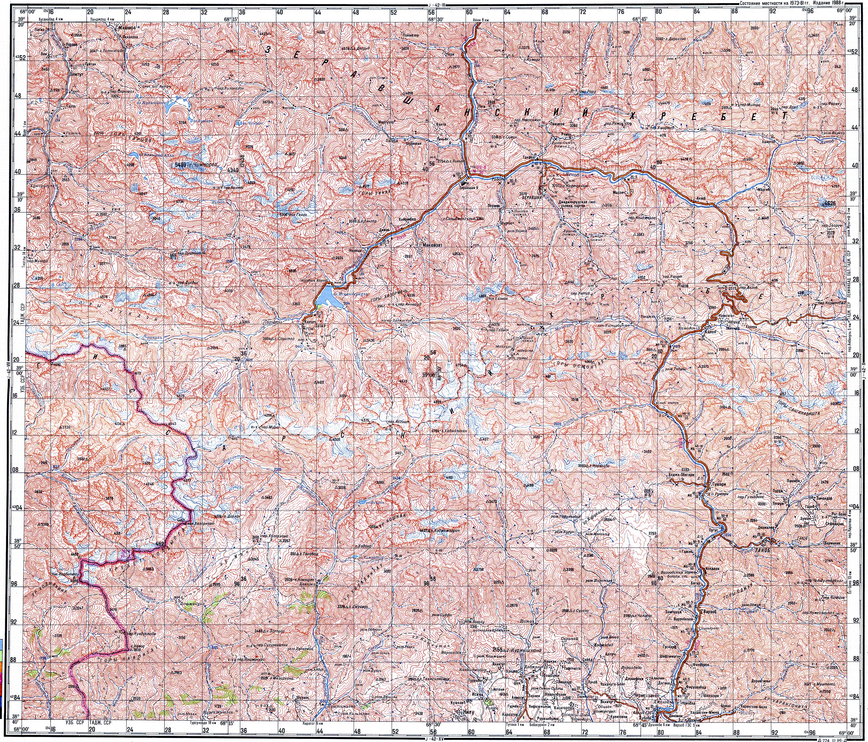
- ^ "Состояние местности на 1973–81 гг. Издание 1988 г" [Terrain conditions as of 1973–81. 1988 edition]. Topographic Maps of the Soviet Union maintained by Petro Vlasenko (in Russian). 1988.
- ^ Seidman, Lila (2023-11-30). "Traveling abroad isn't all about sightseeing. Here's how to get outdoors wherever you are". Los Angeles Times. Retrieved 2025-12-20.
- ^ "Geographical location". The Government portal of the Republic of Uzbekistan. Retrieved 2025-12-16.
- ^ Gilbertson, Eric (2024). "Alpomish, First Ascent and New Country High Point". American Alpine Journal. 65 (98): 243.
- ^ Nortoshevich Gʻolib, Aliqulov; qizi Muzropova, Fazilat Ibrokhim; Abdurazakovich Eshonkulov, Ravshan (2021). "Assessment of Ecoturistic Opportunities of Shakhrisabz District". International Journal of Multidisciplinary Research and Analysis. 04 (4). doi:10.47191/ijmra/v4-i4-11.