Königswalde–Beutengrund Ropeway
| Königswalde–Beutengrund ropeway | |
|---|---|
Lower station of the Königswalde–Beutengrund ropeway | |
Interactive map of Königswalde–Beutengrund ropeway | |
| Overview | |
| Status | Dismantled |
| Location | Beutengrund / Königswalde |
| Country | Poland |
| Coordinates | 50°38′39″N 16°24′15″E / 50.644293643616315°N 16.404070135957387°E |
| Termini | Königswalde railway station 50°38′39″N 16°24′15″E / 50.644293643616315°N 16.404070135957387°E Quarry near Sonnenkoppe (Polish: Słoneczna Kopa) 50°37′20″N 16°24′42″E / 50.62234458779712°N 16.41172763646173°E |
| Elevation | lowest: 540 m highest: 629 m |
| No. of stations | 2 |
| Open | 1912 |
| Technical features | |
| Aerial lift type | Ropeway conveyor |
| Line length | 2,960 m |
The Königswalde–Beutengrund ropeway was a material ropeway that connected a quarry near Sonnenkoppe (Polish: Słoneczna Kopa) with the railway station in Königswalde (Polish: Świerki, Nowa Ruda).
History and use
In 1907, the quarry near Sonnenkoppe (Polish: Słoneczna Kopa) was opened for the extraction of Rochlitz porphyry.[1] In 1912, the material ropeway was put into operation.[2] It carried the quarried material directly from the quarry to Königswalde railway station.[1]
In 1912, the ropeway transported 800 m3 of rock per year.[2] At its peak, 300,000 t of rock per year were transported by the ropeway.[1]
In the 1980s, the quarry was temporarily no longer operated. Ropeway operations were then discontinued.[3]
In the 1990s, the quarry was put back into operation, but from 1995 the ropeway was no longer operated.[1] Much to the distress of many local residents, numerous trucks transported the stone from the quarry from 1995 onward. In 2008, a conveyor belt was put into operation on the former route of the ropeway.[3] In 2011, however, the quarry was closed. The quarry has since become a bathing lake.[4]
Route
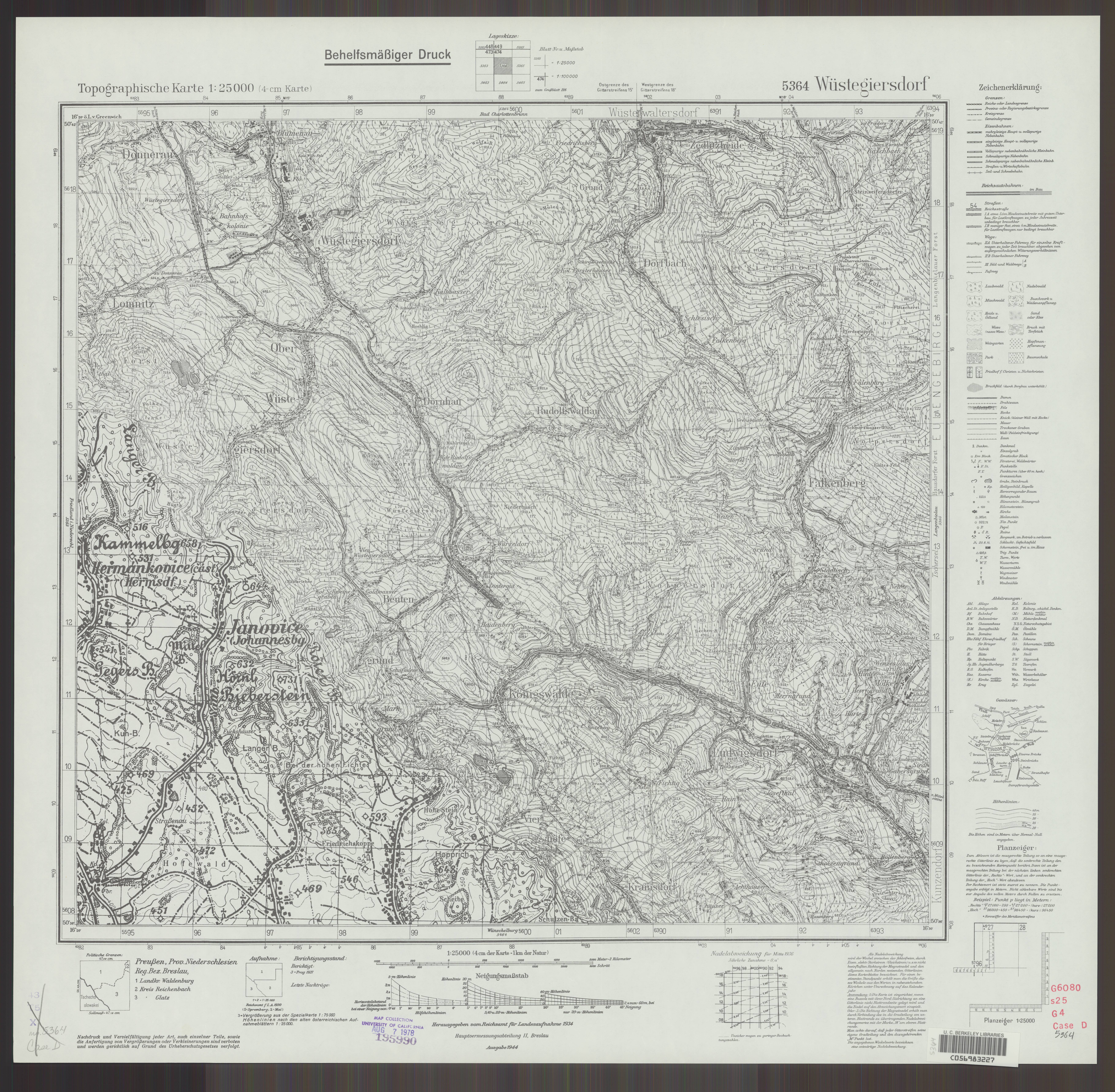
The route of the ropeway is recorded on the TK25 5364 Messtischblatt map sheet of 1944.[5]
References
- ^ a b c d "Kąpielisko w Świerkach?". Tu jest mój dom (in Polish). Retrieved 2026-02-24.
- ^ a b "Przystanek kolejowy / Ładownia Bartnica (d. stacja), Bartnica – zdjęcia". polska-org.pl (in Polish). Retrieved 2026-02-24.
- ^ a b Piela, Romuald (2008-08-20). "Taśmociąg sprawi, że będą żyć normalnie". Gazeta Wrocławska (in Polish). Retrieved 2026-02-24.
- ^ "Kąpielisko w Świerkach?". Tu jest mój dom (in Polish). 2013-01-08. Retrieved 2026-02-24.
- ^ "Messtischblatt TK25 5364 "Wüstegiersdorf" (1944)". MapyWIG – German maps, series 025K TK25 (in German). Retrieved 2026-02-24.